Slope
Overview of the Slope Generator
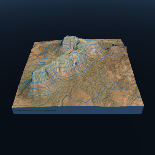
The Slope Generator in Map Generator is a tool designed to generate a height difference map. For each pixel in the map, it calculates the average height difference relative to four nearby pixels. This capability is particularly useful for distinguishing between horizontal and vertical surfaces, which can be helpful when applying different terrain features, such as grass in flat areas and cliffs on steep slopes.
Properties:
From: Specifies the starting angle (in degrees) for the masking effect.
To: Specify the ending angle (in degrees) for the masking effect. Typically, this value is set to 90 degrees (vertical). However, it can be adjusted to create inverse effects (from 0 to X) or to target slopes of specific degrees (from X to Y).
Smooth Range: Defines the range (in degrees) for the transition between the masked and unmasked effects. This parameter controls how smoothly the slope-based masking is applied.
Use Cases:
Terrain Separation: The Slope Generator is valuable for separating horizontal and vertical surfaces in your terrain, making it easier to apply distinct terrain features based on slope angles.
Terrain Customization: It allows for fine-tuning the distribution of terrain elements, such as grass on gentle slopes and rocky cliffs on steeper gradients.
The Slope Generator is a versatile tool that empowers map creators to create height difference maps, facilitating the separation of terrain features based on slope angles. This is particularly useful for adding realism and diversity to virtual landscapes.